LREPP - II
Background:
The Land Resource Evaluation and Planning Project (LREPP) is the second phase in the development of an overall national programme to strengthen the database, processes, institutions and skills for land resource evaluation and planning. The programme is financed by an ADB Loan (NO. 1099-INO).
The Project consists of four components that would strengthen:
The national geographical land resource information system (GLRIS) at BAKOSURTANAL (Part A)
Land use mapping capability at BPN (Part B)
Soil resource mapping capability at PUSLITANAK (Part C) and
Provincial planning capability at BANGDA (Part D).
(About LREPP-II/B in a broader context, see also GIS Stand-Alone or GIS Application ? )
Objectives:
The objectives of the Project are to:
extend the Geographical Information System (GIS) at the national and provincial levels started under the LREP Project, and
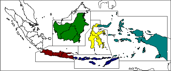
improve the physical planning process in the 18 provinces included under the Project to maximize the benefits to be obtained from the optimal use of land resources and natural resource management.
Implementation:
The consultant is assisting BPN eith the development of land use mapping and land use monitoring methodology, by training BPN staff in 18 provinces in the new technology.
For the priority areas selected for semi-detailed physical planning, maps of current land use at a scale of 1:50.000 will be prepared. BPN will use the new aerial photography, controlled photomosaics and photomaps prepared by BAKOSURTANAL. Stereoscopic aerial photo interpretation will be used to delineate boundaries, which will be transferred via the photomosaics to the 1:50.000 photomaps and digitized.
Land use and other terrain features are in a constant state of change, and once a reliable base position has been determined, monitoring needs to be carried out to assess changes with time. BPN will use satellite imagery and small-format aerial photography/videography, to be provided by BAKOSURTANAL, to monitor land use and related changes. For the analysis of satellite imagery, provincial BPN offices will be provided with the required hardware and software.
To carry out the land use surveys of the priority areas and the land use monitoring, the provincial offices of the BPN will require strengthening, particulary in terms of skills and facilities. The institutional strengthening under this component will, therefore, include:
provision of additional office accommodation at provincial centers
provision of computer hardware and software, equipment for image analysis, aerial photographis interpretation and map compilation, and vehicles, and
training of provincial staff in land use survey and mapping techniques, aerial photographic interpretation and GIS, including training overseas
The project at BPN (component LREPP-II/B) is executed by a consortium of 4 firms:
Regional Setup of LREPP-II